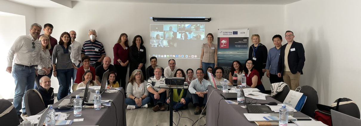
AGEO 7th Consortium Meeting was held from 4 to 6 May 2022 in Gran Canaria. In this hybrid meeting, hosted by LPRC, the progress made in each of the Work Packages was discussed, as well as updates regarding the five pilots that are being conducted in Spain, France, Portugal and Northern Ireland. Furthermore, the AGEO app began its testing stage, where participants could try it on the field and give feedback to further improve its performance and functionalities.
Day 1
The meeting started on the 4th of May in Gran Canaria, with AGEO´s coordinator Rui Gomes (University of Lisbon) giving a brief on the project timeline, agenda and the meeting objectives.
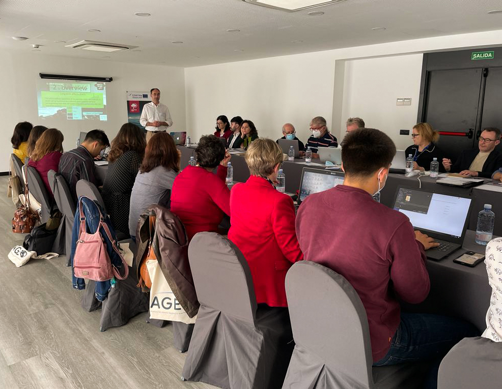
AGEO Coordinator, Rui Gomes, from University of Lisbon
After the introduction, Ariadna Ortega, from La Palma Research Centre (LPRC), gave an update on the work being done regarding communication in Work Package 2: the AGEO website is being with new feature updated in parallel with the project implementation, material received from project partners; the the project social media channels will also be populated with new content, such as video presentations from AGEO meetings and Q&A interviews with each one of the pilot leaders.
Victor Correia, from Associação Portuguesa de Geólogos (APG), updated the attendees on the progress being made on Work Package 3 regarding the capitalization of the projects. During his presentation, the actions of the plan were discussed, as well as the challenges faced and the future steps to be taken.
Rute Ramos, from Laboratório Nacional de Engenharia Civil (LNEC), gave a presentation about the work being done in Work Package 6, introducing Portugal National Strategy for a Preventive Civil Protection 2030.
Xiaowen Wang, from University College Dublin (UCD), took the stage to introduce MIESAR, an easy-use and open source multi-temporal InSAR processing tool for future geohazard monitoring. This is an open source software with easy-use GUI for SAR data processing from RAW level to multi-temporal displacement analysis in one flowchart.
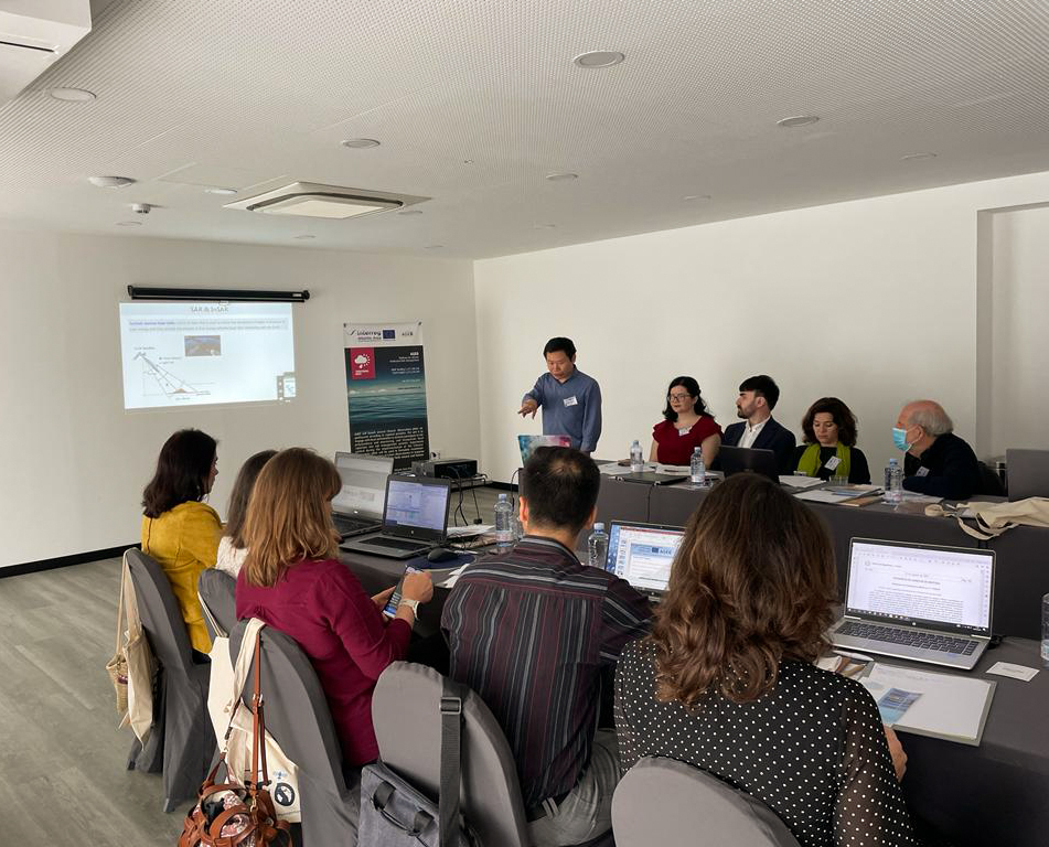
Xiaowen Wang, from UCD, presenting about MIESAR, an easy-use and open source multi-temporal InSAR processing tool for future geohazard monitoring
Levent Gorgü, from University College Dublin (UCD), presented the new AGEO app, designed to be used by citizens to easily report on geohazards. The functionalities of the app were explained and discussed, as well as details about the development and further upgrades to be made. After the presentation, participants in the meeting were able to test the app on the field and give their input about the performance and usability of the software.
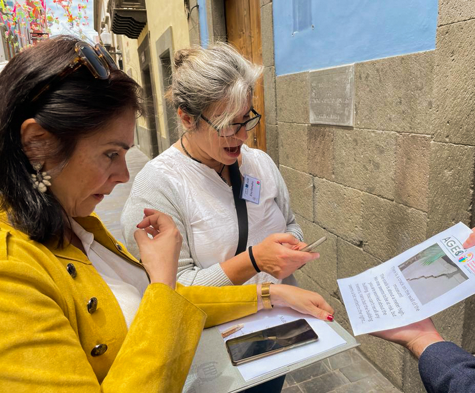
AGEO partners testing the app
In the second part of the session, each one of the pilots gave a presentation about the developments achieved during its course.
Isabel Montoya, from Instituto Geológico y Minero de España (IGME), shared insights about the Canary Islands rock-falls pilots, showing the engagement activities that were promoted in the context of this project, as well as the challenges that arose.
Carlos Ferreira, from Câmara Municipal de Lisboa (CML) gave an update of the Lisbon Multihazard pilot, presenting about the app that they have been using and hazard management workflow.
Domingos Rodrigues, from University of Madeira (UMA), presented the work being made in Madeira´s pilot. During his presentation, he showed an example of coastal retreat and the ongoing work with the community, especially in schools where educational early warning systems were built using seismographs.
Nicolas Le Dantec, from Université de Bretagne Occidentale (UBO), gave an update about the Brittany project related to vulnerability to coastal risks. He presented a photogrammetry case study and also the local app that is being used in this pilot.
Kieran Parker, from Geological Survey of Northern Ireland (GSNI), presented about the Causeway Coast pilot, showing the progress on understanding the hazards, also discussing the citizen’s participation.
The first day of the meeting ended with an open discussion in which further lines of action were identified.
Day 2
On the 5th of April, participants visited the Las Palmas rockfall pilot in the Municipality of ‘San Bartolome de Tirajana’, conducted by IGME, to get a first hand experience on how it is being developed, as well as meeting with local authorities. The day was concluded with a group exercise collecting feedback for future improvements of the pilots sites.
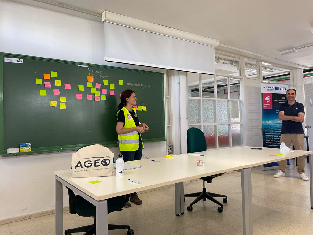
Isabel Montoya, from IGME, giving insight about Las Palmas rock-fall pilot
Day 3
The meeting was crowned on the 6th of May with a visit to La Palma, where attendees could observe the effects of the recent volcanic eruption. During this field trip, participants met José Heriberto Lorenzo Pérez, coordinator of Cecopin, La Palma, who shared his first-hand experience and the lessons gained during the management of emergency services under the 3-month volcanic eruption in the fall of 2021.
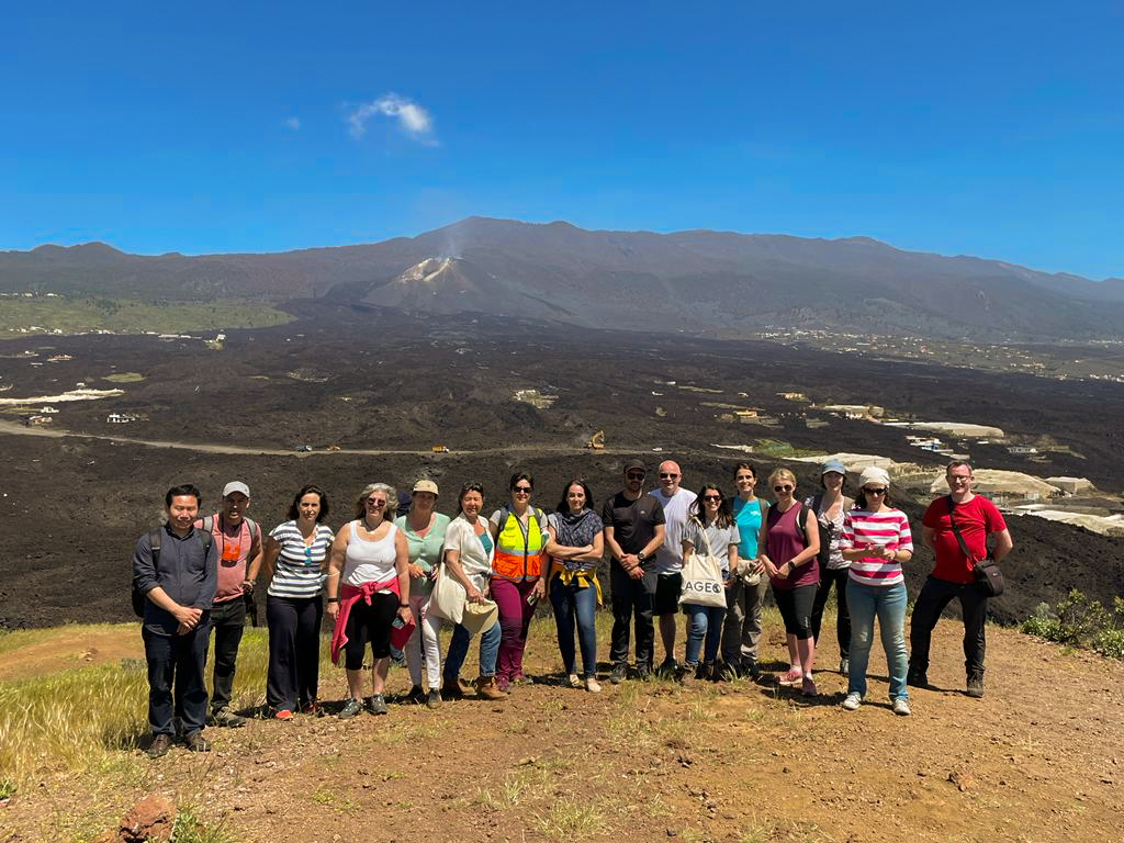
AGEO Consortium members group picture in La Palma
