How citizens can reduce geohazard risks: AGEO presents results in Final Conference in Lisbon
AGEO presented the results obtained during the four-year citizen science project on geohazards risk mitigation.
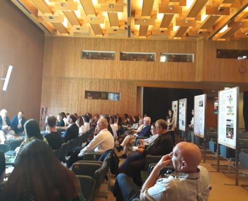
AGEO Final Conference was held on the 19th and 20th of April at the Congress Centre of LNEC in Lisbon, Portugal.
The AGEO Consortium, formed by experts from 13 institutions and five countries, presented the results obtained through four years of close work with the citizens in the four pilot studies created for the project. In these pilots, collaboration with local communities and institutions was crucial to improve risk mitigation systems in zones affected by geohazards. Thanks to the knowledge obtained with the interactions with the citizens, local authorities and protection services, AGEO identified ways to enhance geohazard risk mitigation measures to preserve human lifes and reduce property damages.
The event was divided in two parts: the first session, cross-sectional components of the project where presented, such as general management, communication and dissemination actions, and the use of Copernicus services and tools developed by the AGEO Consortium during the four years of the project. The second session was dedicated to the four pilots, where the leaders of each one of the studies presented the results obtained and the lessons learned.
Together we are strong: the importance of Citizen Science
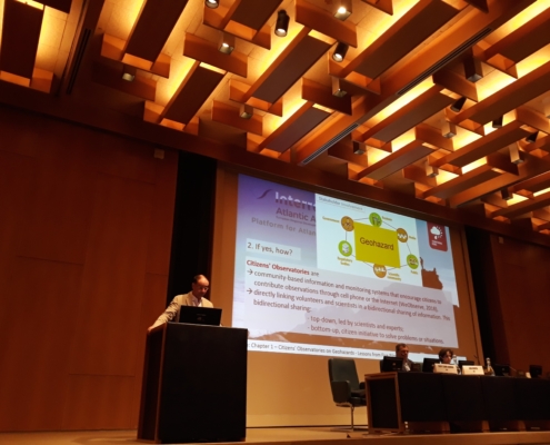
Rui Gomes (University of Lisbon), AGEO coordinator, introduced the session giving a general overview of the work done by the Consortium, highlighting the importance of the project and the utility of citizen science initiatives as bottom-up processes where citizens take an active role in resolving problems or conflicts.
Communicating geohazards
Following, Ariadna Ortega (La Palma Research Centre) and Cláudia Pinto (Câmara Municipal de Lisboa) shared how AGEO communicated and disseminated the project to reach the stakeholders through the website, social media campaigns, media and events. Also, the creative work behind Riska, the mascot for AGEO project, was shown, as well as its application in the communicational materials.
Geohazards learning resources and materials
Kirstin Lemon (Geological Survey of Northern Ireland) shared the educational materials that were created to improve citizens’ knowledge on geohazards and how to react to them. As a result, materials with explanations of the different types of geohazards and how to prevent and reduce the risks derived from them. These materials can be accessed through the AGEO Platform and are available in English, Spanish, Portuguese and French.
Tools to analyze and monitor geohazards
Copernicus services
Lidia Quental (LNEG) and Isabel Montoya (IGME-CSIC) introduced how the Copernicus services were useful to monitor geohazards during AGEO in the pilot locations.
EZ-InSAR: an easy to use, open source toolbox
Eoghan Holohan (UCD) presented EZ-InSAR, a tool that is free and easy to use for analyzing InSAR displacement time series with multi-temporal SAR images. EZ-InSAR reduces the users’ workload by getting the images and the elevation data needed for the area, and by making the data ready for the time series InSAR analysis. These features make EZ-InSAR a helpful tool for ground deformation monitoring and geohazard evaluation.
AGEO App and AGEO Platform
Eleni Mangina and Levent Gorgu (UCD) presented the latest version of the AGEO App and the AGEO Platform. The AGEO Platform includes new features, such as the inclusion of educational materials in four languages, and new processes to verify the information received before it is made public in the platform. This new implementation reinforces the accuracy of the information presented, adding new layers of quality control for the information.
AGEO Pilots
Canary Islands
Isabel Montoya (IGME-CSIC) took the stage to share the lessons learned from the Canary Islands pilot for AGEO. This pilot was conducted in the islands of Tenerife, Gran Canaria and El Hierro. One of the highlighted points was the importance of collaboration with local communities and stakeholders for the success of the pilot, as well as the utility of citizen science as a tool to obtain updated data to improve the phases of prevention and mitigation of geohazards.
Madeira
Domingos Rodrigues (University of Madeira) shared insight about the importance of attitudes and behaviors towards geohazards as the leader of the Madeira pilot. In this case study, landslides and coastal retreatment were studied, creating synergies between schools, local communities and Civil Protection to improve resilience to geohazards in the region.
Lisbon
Claudia Pinto (Câmara Municipal de Lisboa) presented the work done in the Lisbon Multihazard Pilot. The main goal for this pilot was to improve risk management and society engagement through information. During the presentation, she presented the communication materials created and adapted by the project to inform the different segments of the population about geohazard risk management.
Brittany
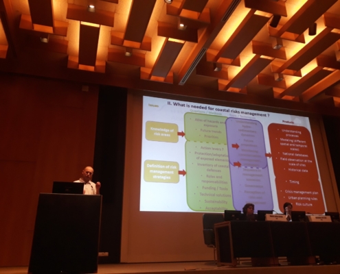
Nicolas Le Dantec (University of Brest) focused on the systemic vulnerability to coastal risks of erosion and marine flooding present in Brittany, covering the 257 coastal municipalities of the region through the OSIRISC Observatory. During the course of the project, partnerships were created between academics and local authorities to carry out joint actions, such as data collection and expertise sharing.
Northern Ireland
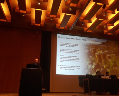
Kieran Parker (Geological Survey of Northern Ireland and British Geological Survey) guided the participants in the AGEO Final Conference through the process of understanding the geohazards present in the Causeway Coast Citizens’ Observatory. The pilot was carried out in five stages: 1) monitoring of the sites, 2) local communities and stakeholders engagement, 3) encouragement of AGEO app use, 4) evaluation of satellite data from the Copernicus programme, and 5) contact with stakeholders to promote a better understanding of geohazard risks to enhance risk management at the sites using evidence based information.
Keynote lectures
External experts from Portugal, Spain and the UK provided keynote lectures. José Luís Zêzere, from Lisbon University, presented how to improve geohazards risk management through case studies. Montserrat Román, from Civil Protection and Emergency Services of the Government of the Canary Islands gave insight about the role of Civil Protection on citizens’ observatories. Anna Hicks, from the British Geological Survey, shared her experience and lessons learned in STREVA, a project that worked closely with citizens to analyze volcanic risks and communicate and apply new knowledge with the goal of reducing negative consequences of risk on people and assets.
AGEO book
The results of the project will be included in the AGEO project book, to be published by Springer in September. It will be available as an open source e-book.
