UCD hosts AGEO 8th Consortium Meeting in Dublin
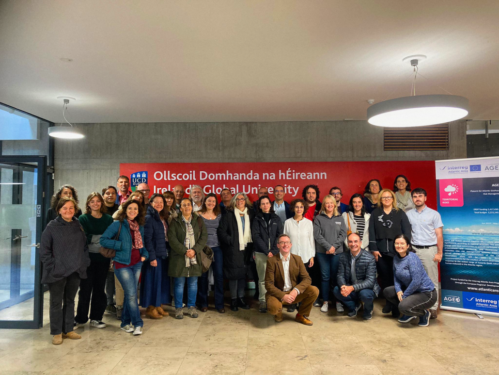
The INTERREG Atlantic Area European funded AGEO Project held its 8th Consortium Meeting in Dublin from the 6th to the 8th of October. In this event, hosted by the project partner University College Dublin (UCD), more than 30 members of the international consortium presented the progress being made in each one of the five pilots developed within the project, conducted collaborative sessions to improve and to share ideas regarding the project’s development and implementation, and harmonized the contents of the book that will be published as an output for AGEO.
Summary of the 8th AGEO Consortium Meeting
The event was divided in three days:
- On the 6th, the main topics were sustainability of the project, parallel working sessions, the roadmap for the AGEO App for geohazard monitoring, and the harmonization of the book chapters.
- On the 7th, there were two separate sessions: one for the pilots‘ implementation progress, and a specialized session to discuss educational contents, usability aspects of the AGEO app and the crisis management done by IGME during the La Palma volcanic eruption.
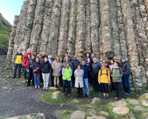
- On the 8th, the attendees visited the Causeway Coast and the Carrick-a-Rede pilots in Northern Ireland, learning on site the amazing work done by the hosting project partner Geological Survey Northern Ireland (GSNI)
Teamwork makes the dream work
In the course of the meeting, two collaborative parallel sessions were conducted, titled “Improving risk management systems”, coordinated by LNEC, and “Pilots contributions to Copernicus”, by IGME.
During these sessions, the participants separated into two groups in which they exchanged ideas and debated for 90 minutes to generate new approaches and coordinate efforts.
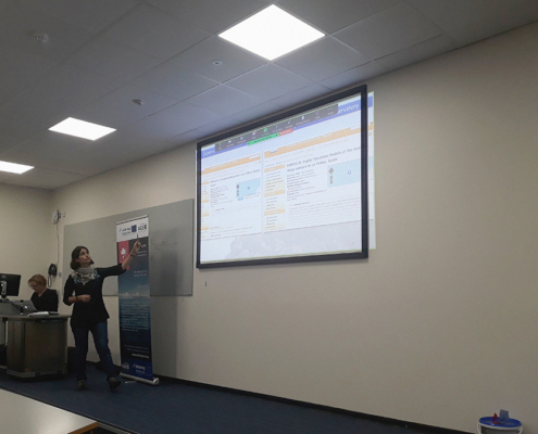
AGEO App: Better. Safer.
University College Dublin (UCD) and Instituto Superior Técnico da Universidade de Lisboa (IST) presented the developments made on the Ageo App for geohazard monitoring and reporting to make it more engaging, easy to use and safer.
The UI for the AGEO app has been improved, including new functionalities such the possibility to attach a picture of the geohazard from the main page of the app, making the user experience better.
Another new feature of the AGEO app is including the “I am safe” option when reporting a geohazard, and the option to contact the emergency services directly from the application.
Educational content on geohazards for schools
The Geological Survey of Northern Ireland (GSNI) presented a set of educational contents on geohazards to be used in schools by students from 14 to 18 years old.
These materials will include information on different geohazards, such as landslides, earthquakes, volcanoes, costal erosion and flooding. What they are, how they occur, their impact and how to mitigate and prepare for such geohazards are part of the content of these educational resources.
AGEO educational guide for geohazards will also include information for teachers, with follow-on activities for students to carry out and presentations including additional images to be presented to a class easily, and case studies of sites withing the AGEO project area.
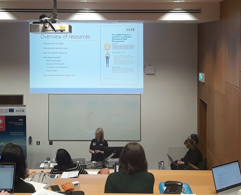
AGEO communication in Lisbon
Câmara Municipal de Lisboa (CML) presented the dissemination and communication actions about geohazards in the Lisbon regions, including the test of the app.
The dissemination is being done using images, videos and advertising materials using Riska, a character created for the project to communicate about the different geohazards, and how to react and prevent them.
Additional promotional materials were also provided to the attendees, such as the AGEO leaflet with information about the project, and the sugar packages with the images of Riska and information about geohazards that are being distributed in coffee shops in Lisbon.
AGEO’s role in La Palma volcano and Tropical Storm Hermine
Isabel Montoya, from IGME, introduced the participants to the role of the Canary Islands pilot during the La Palma volcano eruption in 2021 and the Hermine Tropical Storm in September of 2022.
Causeway and Carrick-a-Rede pilots visit
On the last day of the meeting, tha attendees visited the Causeway and Carrick-a-Rede pilots in Northern Ireland. This visit was hosted by the Geological Survey of Northern Ireland (GSNI), in charge of managing this pilot.
During the visit, the consortium members learned more about the work being done in the pilot, including an informal meeting with the National Trust, which are centered around getting a better understanding of rockfalls on site, improving risk management and increasing local awareness of geohazards. During this experience, the participants also had the chance to learn more baked sills and amonites.
