OSIRISC – Observatory of coastal risks in Brittany
OSIRISC is the outcome of twenty years of scientific research carried out at the Université de Bretagne Occidentale (UBO).
The scope of this observatory covers all the coastal municipalities of French Brittany. About twenty researchers and engineers are involved in the team, crossing expertise from many disciplines: geology, geomorphology, geography, psychology, and economy, among others.
Managing entity

Université de Bretagne Occidentale (UBO)
Objectives
Why is this pilot important?
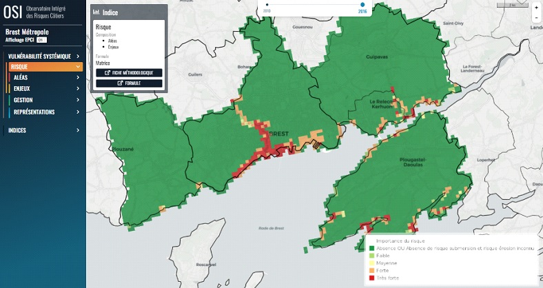
OSIRISC applies an integrated approach to monitor the trajectories of vulnerability of coastal territories in Brittany to erosion and marine flooding. Four components of vulnerability are considered : hazards, exposed elements, management and social representations. Risk is the outcome of hazards and assets, whereas management mitigates risk and social representations provide insight on risk perception. A set of 62 indicators describing the different components has been co-designed thanks to a partnership between scientists and stakeholders.
What are we doing in this pilot?
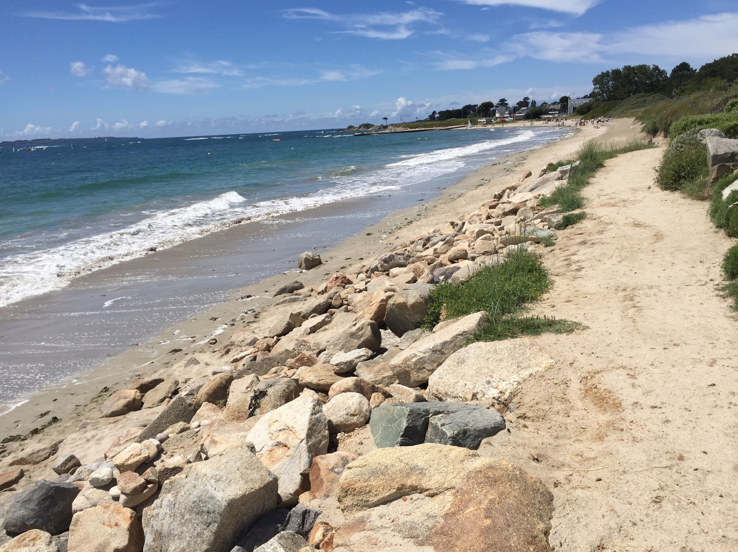
The observatory is deployed in collaboration with territorial managers. Activities of OSIRISC observatory include the set-up of coastline monitoring plans by local authorities, training courses and sharing experiences. Over 100 sites are monitored by scientists and territorial managers, to produce long- term observations on coastal erosion and marine flooding hazards. Exposure data are collected from national databases. Data on risk management strategies are collected through interviews with territorial managers. For social representations of risks, we use questionnaires. All the indicators available for Brittany can be visualized on the OSI webGIS platform.


